
How do you limit traffic disruption during large-scale roadworks?
Geplaatst op 21 oktober 2026
Bridges, tunnels and roads need to be maintained and renewed. At the same time, residents, businesses and freight operators depend on a network that gets them from A to B as predictably as possible.
Many countries, cities and regions face the same question: how do you limit disruption while essential infrastructure is being renewed?
The Netherlands is no exception. When a major road is closed, far more happens than just around the construction site. Traffic shifts, navigation systems look for alternatives, and travellers and freight operators change their choices.
The challenge is therefore broader: what happens on the surrounding network, and how can you anticipate it?
In Dutch Practice
Good information as a starting point
To inform travellers in good time, you first need to know where works are taking place, when a closure begins and which roads are affected.
The National Road Traffic Data Portal (NDW) collects, processes and distributes traffic data on behalf of Dutch road authorities. Within NDW, several initiatives, including European ones, are working on the quality of roadworks data: its accuracy, completeness and timeliness.
But available information is not automatically usable information. The next question is what happens to it further down the chain.
What do navigation systems do with it?
Once a closure is known digitally, navigation systems can recommend alternative routes. That may make sense for a single driver, but when many road users receive the same advice, new traffic flows can emerge elsewhere.
Within the Connekt network, a range of organisations work on traffic data, traffic management and digital mobility services. One practical example is TripService, which works with insight into the routes that navigation systems are likely to recommend during future road closures. This makes it possible to see in advance where unwanted traffic flows may arise and where additional measures may be needed.
Navigation thus becomes more than something to react to during roadworks. It becomes something to factor in during preparation.
Digital and physical must come together
Ultimately, road users also encounter the changed situation on the street. Diversions must be clear, temporary traffic measures must be safe, and digital information must match what is happening on the ground.
BUKO shows another side of this challenge: combining physical traffic measures with digital communication to reach and influence road users before and during their journey.
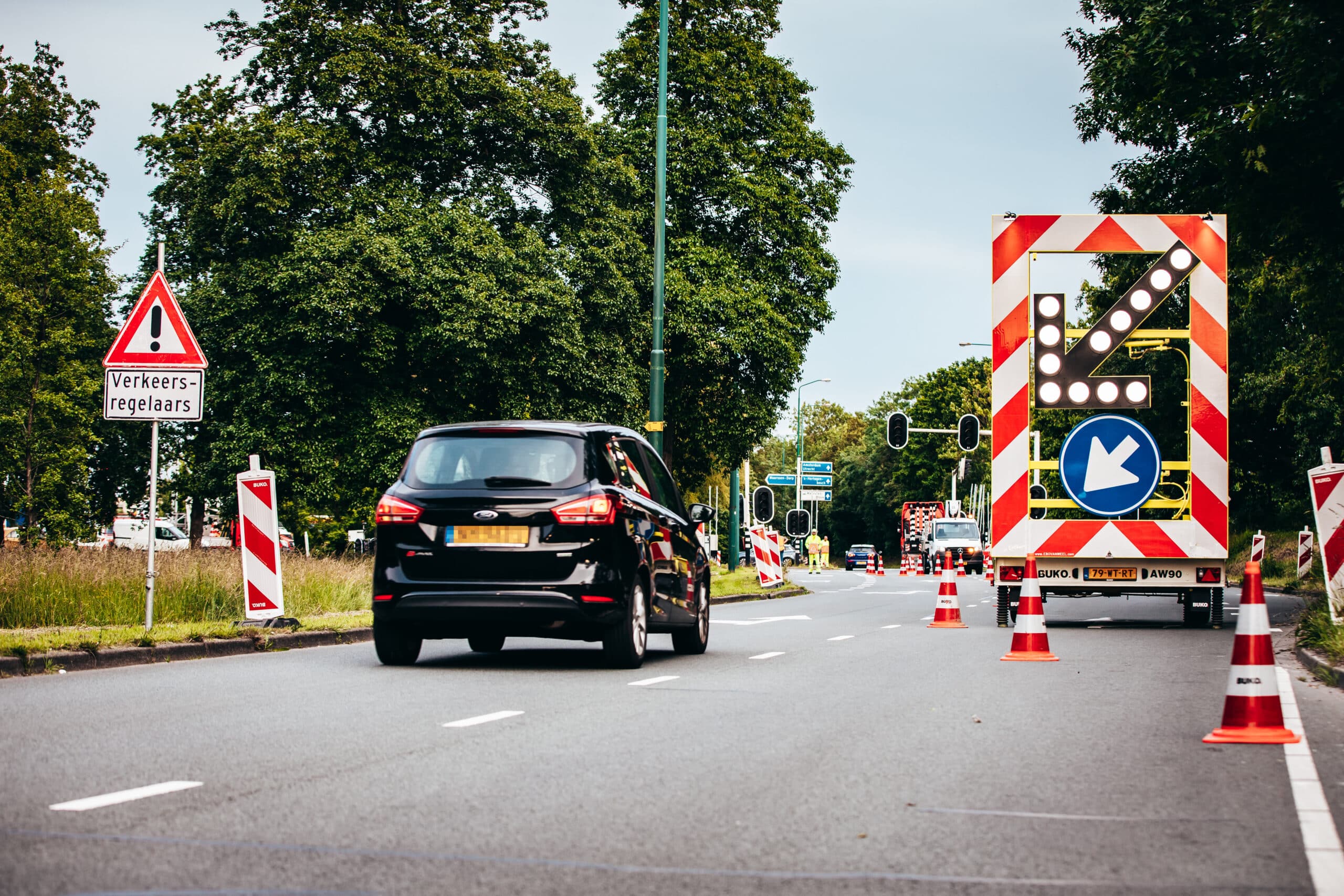
The question, then, is not whether physical or digital measures are better, but when each intervention helps and how the two can reinforce one another.
What Are We Learning?
Then reality sets in
Even with careful preparation, one factor remains hard to predict: what travellers actually do.
Not everyone follows the advice they are given. Traffic flows can develop differently from expected, and incidents can change the picture.
That is why it remains important to follow what is actually happening on the network during the works. Monitoring shows where practice departs from expectations and can prompt a change of approach.
Three Takeaways
- 01. Look beyond the work zone
A closure can affect a much wider area. Take the surrounding network into account from the outset. - 02. Make information usable, not just available
Information only has value when parties can work with it and when it reaches the traveller in time. - 03. Leave room to adjust
Travel behaviour, traffic flows and incidents cannot be fully predicted. Monitoring helps to show where practice differs from the plan.
What Travels Beyond the Netherlands?
Context differs from country to country and region to region. Road management may be organised differently, the available traffic data varies, and the relationship between public road authorities and commercial navigation and information services is not the same everywhere.
So the most interesting part may not be the solutions themselves, but the questions behind them:
- Do we know where traffic goes when a major link is closed?
- Does information about roadworks reach the services that travellers actually use?
- Do digital information and the situation on the street match?
- Can we see what is really happening during the works, and adjust if necessary?
These are not uniquely Dutch questions. By exchanging experience between countries and regions, we can better understand what works in different circumstances.
Dutch expertise in this field
NDW, TripService and BUKO illustrate different sides of this challenge in this article. They represent only part of the wider Dutch ecosystem. Within Connekt | ITS Netherlands, many more public and private organisations work on accessibility, traffic management, infrastructure, mobility data and digital traffic information
Let’s Connect
Are you working on a similar challenge internationally?
Smart Mobility Embassy is the international community of Connekt | ITS Netherlands. Through our network, we connect international partners with relevant Dutch knowledge and expertise in mobility and logistics.
If you are tackling a comparable challenge and would like to exchange experience with Dutch partners, we would be glad to put you in touch with suitable experts from our network.